Use this map to:
- Find detailed information about the location of pipes, sewer manholes, air valves and hydrants near or on your property
- Locate swipe card standpipe access points
- Locate CFA tanks and hydrants
- Locate your water meter
- Access land elevation information for your property to assist in planning your on farm piped system.
Access Interactive map of GWMWater assets
Interactive map of emergency water supply pointsOur region has multiple water supply points that provide water for emergency stock and domestic purposes during severe dry seasonal conditions, surface water scarcity, and bushfires. Some sites are also equipped to supply water to firefighting vehicles. View an interactive map showing your local emergency water supply points at the Department of Environment, Land, Water and Planning (DELWP) website. |
Published by: GWMWater
Date: October 2010
High levels of blue-green algae in water can be toxic to humans and animals and so its important to manage a major outbreak responsibly.
Under the Emergency Management Act 1986, GWMWater has been appointed Regional Coordinator for major blue-green algae outbreaks in the waterways within the Grampians Wimmera Mallee Water boundary below.
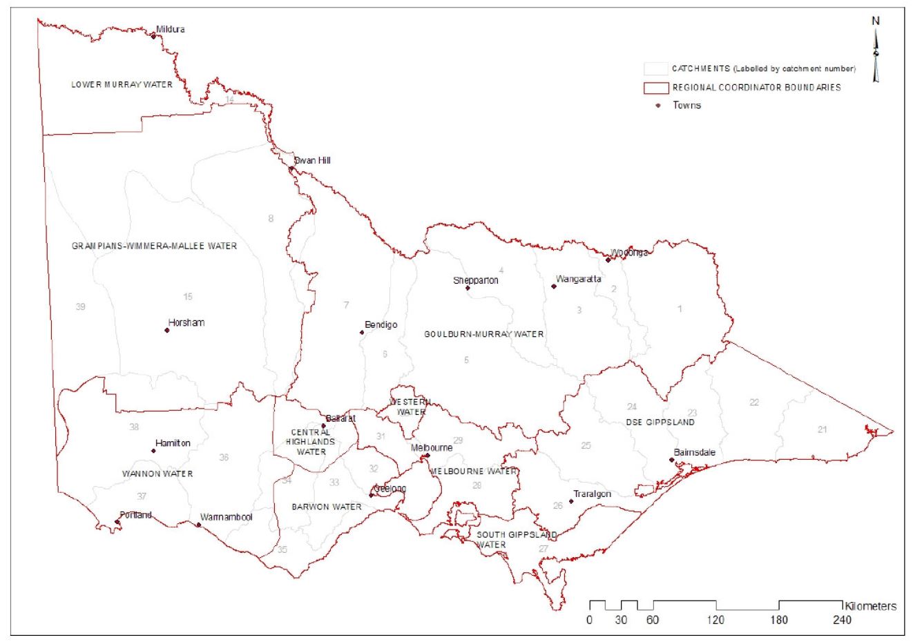
As Regional Coordinator, GWMWater coordinates the management of major outbreaks across these areas, while Local Water Managers (LWMs) monitor and manage local blooms under their own emergency plans.
This approach is outlined in the Blue-Green Algae Regional Coordination Plan, which is based on the Victorian Emergency Management Manual. The Plan covers:
- The role and responsibilities of the Regional Coordinator (GWMWater) and Local Water Managers (LWMs).
- How to prepare for, respond to and recover from a blue-green algae event.
- Reporting blue-green algae outbreaks.
View current supply blue-green algae outbreaks or rec lake and reservoir blue-green algae outbreaks.
![]() Blue-Green Algae Regional Co-ordination Plan (553 kB, 24 pages)
Blue-Green Algae Regional Co-ordination Plan (553 kB, 24 pages)
| For warnings for the Murray River, refer to algal information issued by the NSW Department of Primary Industries. |
Published by: Department of Sustainability and Environment
Date: November 2011
The Western Region Sustainable Water Strategy maps out our region's water resources and the challenges and opportunities facing water users over the next 50 years.
The Strategy aims to:
- make the best use of water resources in different parts of the region
- protect the environment
- be ready to manage the challenges of a variable climate and future droughts.
Development of the Strategy was overseen by the Western Region Consultative Committee, which was chaired by Daryl Argall and has been meeting since 2009. Water corporations, catchment management authorities, industry, farming and environmental groups and the broader community helped develop the strategy through wide consultation.
The policies and actions in the Strategy are designed to:
- provide increased certainty for water users and environmental managers
- promote sustainable urban, industrial, and rural water use; and
- protect and improve the health of waterways, aquifers, wetlands and estuaries
![]() Western Region Sustainable Water Strategy (15MB, 291 pages)
Western Region Sustainable Water Strategy (15MB, 291 pages)
To view the five-yearly assessment relating to the Strategy, visit: https://www.water.vic.gov.au/planning-and-entitlements/sustainable-water-strategies/western-and-gippsland-region-sustainable-water-strategies (external website)
Supporting information...Urban and Rural Water Supply Strategy Our Urban and Rural Water Supply Strategy outlines how we will manage water security to provide water services in our towns and cities now and into the future
Our Annual Water Outlook is released in December each year. It builds on our Urban and Rural Water Strategy to provide information about water security for our towns and rural users for the year ahead. |
We understand that fire preparedness and prevention are a high priority in the community due to the impact it can have on private and public land. We implement measures to manage the fire risk on the land we own and manage. These measures are outlined in the Fire Prevention Plan.
The Fire Prevention Plan focuses on the protection of life and property and is available as a reference for Municipal Fire Management Planning Committees.
![]() Fire Prevention Plan (5MB, 19 pages)
Fire Prevention Plan (5MB, 19 pages)
Further information...
Our fire prevention plan is based on hazard identification and hazard reduction.
Environmental Management System At GWMWater, we're committed to managing our natural resources responsibly and delivering services in ways that minimise the impact on the environment. |
A wildlife pond is an inground water source designed to provide habitat for wildlife. Our region can be dry at times and difficult for the local wildlife to thrive in. A wildlife pond is a valuable water source for birds, frogs and even turtles. Wildlife ponds are generally circular with shallow sides, and around 1 metre deep, with plenty of plants and logs to provide homes and perches for local wildlife visitors and residents.
The concept of wildlife ponds was developed by the Birchip Cropping Group. They examined the impact of removal of channels and dams on biodiversity. The project trialled the concept of introducing ponds at several sites and concluded that they could effectively enhance biodiversity, particularly when located in consideration of existing habitat.
Wildlife ponds rebate
A 17 kL water rebate is available to rural landholders who construct and register their wildlife pond. Customers will need to submit an application form agreeing to the terms and conditions, which will be considered and assessed against the eligibility criteria.
![]() Wildlife ponds fact sheet and application form (1.3MB)
Wildlife ponds fact sheet and application form (1.3MB)
Building a wildlife pond
If you decide to build a wildlife pond, you're making a great decision for the local community and our wildlife. The Birchip Cropping Group has produced a great guide to building a wildlife pond, to make getting started a bit simpler.
![]() Farmer’s guide to installing a wildlife pond (560kB, 4 pages)
Farmer’s guide to installing a wildlife pond (560kB, 4 pages)
Further information...
Designing your on-farm piped system If you're planning to install your on-farm piped system, we have tools and advice available to help you come up with the best design for your property.
Planting trees near a rural pipeline If you're planning to plant trees or shrubs, it's important to avoid planting them too close to a pipeline in case we need to do work on a pipe.
|
Page 7 of 16